¿Habla español? | Accessibility and Language Options(Opens in new window.)
Stations
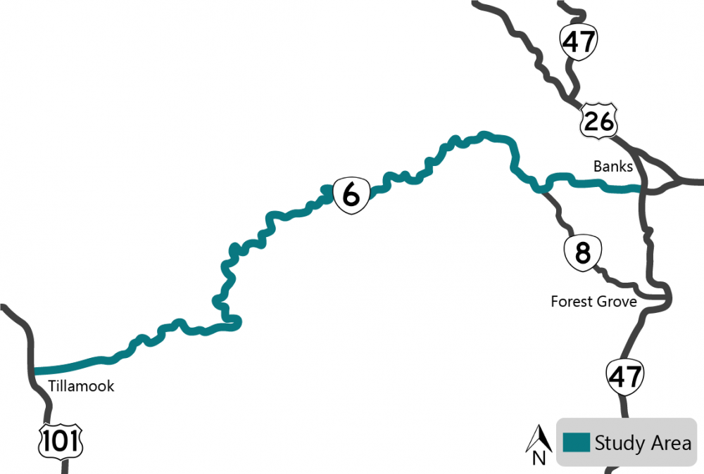
![]() In response to local concerns, the Oregon State Legislature passed a bill to initiate this study and present the findings in fall 2023.
In response to local concerns, the Oregon State Legislature passed a bill to initiate this study and present the findings in fall 2023.
To understand the needs along the corridor, we gathered public feedback on existing problems and issues related to safety, freight, operations and overall road conditions.
The final product will be a complete study of the highway that will include potential solutions, projects and cost estimates.
The study won't result in specific project work until funding becomes available.
Click the "+" or the title below to view the information in each section.
Community Events
Your feedback is an important part of our process. We asked you to share your experiences at our community events last November.
More than 500 people participated in this first round of outreach, where we:
-
Received feedback from 73 people through our online open house that had over 400 visits.
-
Spoke with about 70 people outside of grocery stores at tabling events in Banks and Tillamook.
See what we heard by looking at our interactive map.
Advisory Committees
We have two stakeholder committees that help review the study information. We've met with both committees once and plan to meet two more times.
-
The Stakeholder Advisory Committee has 22 community members who review our findings and provide local knowledge and input.
-
The Technical Advisory Committee reviews our findings and provides guidance on technical issues through collaboration with city and county partners.
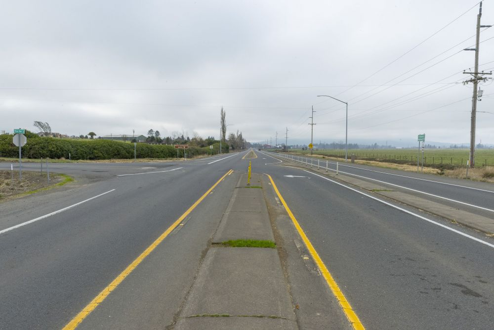
What's In the Corridor
To understand the current conditions of the highway, we reviewed what's in the corridor, including:
-
Geography, like hills, curves, land stability, etc.
-
Bridges and equipment like roadside barriers, signs, etc.
-
Pedestrian, bicycle and transit areas.
-
Environmental resources, like water, plants, wildlife, wetlands, historic sites, etc.
How Many People Drive the Corridor
To understand how much traffic is in the corridor, we counted. We looked at the corridor in August, September and October 2022 collecting data at the Wilson River Loop, Timber Road, Gales Creek Road intersections and at milepost 12. We found that:
-
The Gales Creek Road intersection meets the criteria for a dedicated left turn lane.
-
The highway capacity works for traffic now and the projected traffic volumes in 2044.
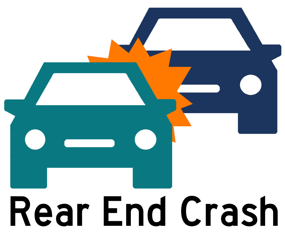
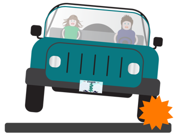
Crashes in the Corridor
We looked at the crash data and found:
-
There were 428 crashes between 2016 to 2020, 46 had fatal or severe injuries.
-
The most common types of crashes were fixed objects, rear ends and turning crashes.
-
The most commonly reported factor was driving too fast for the road conditions.
-
Some of the key crash locations were:
- Wilson River Loop East intersection.
- Milepost 31 to 35.
- Gales Creek Road intersection.
![]()
![]()
Click the "+" or the title below to view the information in each section.
Learn more about each corridor wide issue by clicking on the tabs below.
Access to Recreational Destinations
 OR 6 provides access to many recreational destinations, like campgrounds and hiking trails.
There aren't consistent signs to alert drivers of entrances. This causes drivers to slow down to look for their destination or make sudden turns.
The accesses are difficult to see, so it can surprise drivers on OR 6 as vehicles exit these locations.
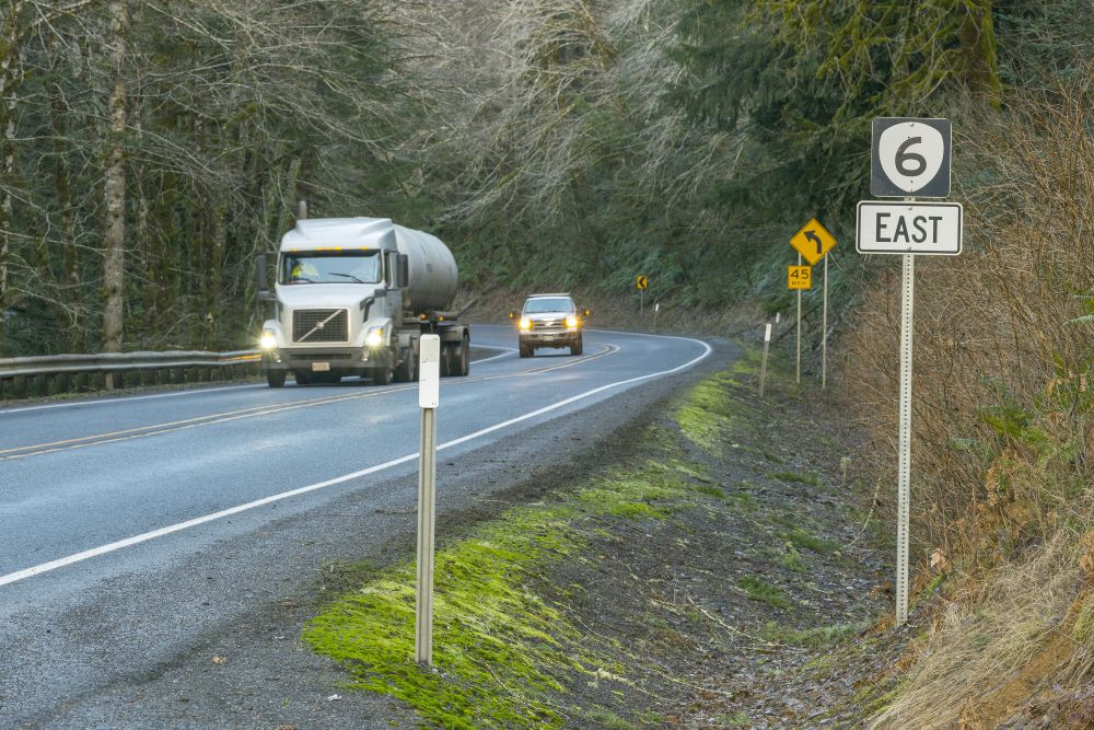
Curves in the Road
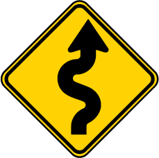 OR 6 has many curves. At some locations, there's a pattern of drivers leaving the road or crossing the centerline when curves and other conditions exist.
Examples of those conditions are:
-
Hills.
-
Snow, ice and wet pavement.
-
Passing lanes that are in curves.
-
Pull-outs in curves with limited sight distance, meaning drivers can't see very far ahead of them.
Drivers have shared that visibility can be poor due to curves, hills and trees. Drivers noted that some curves have pavement that slopes in the opposite direction, making it difficult to stay in your lane.
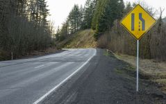
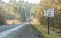
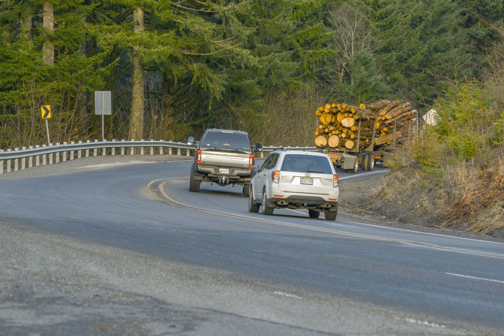
Passing Lanes
 Passing lanes are located throughout the corridor and help keep traffic moving. Several of the passing lanes aren't long enough to meet current standards. Many passing lanes are located within curves where crashes have been reported.
Risky driver behavior has been attributed to a lack of opportunity to pass slower moving vehicles. People mentioned that some turnouts are not paved or there isn’t enough warning to be able to use them safely.
Roadway Conditions
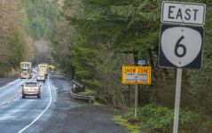
 Some locations along the highway have more crashes when there is snow, ice or wet pavement.
Milepost 31 to 38 is the highest elevation within the corridor and is especially at risk for snow and ice related crashes.
38% of crashes along this section happened during snowy and icy conditions.
People told us that conditions such as ice, snow, fog, landslides and rocks on the road were listed as major safety issues.
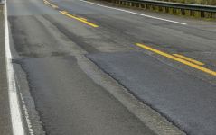
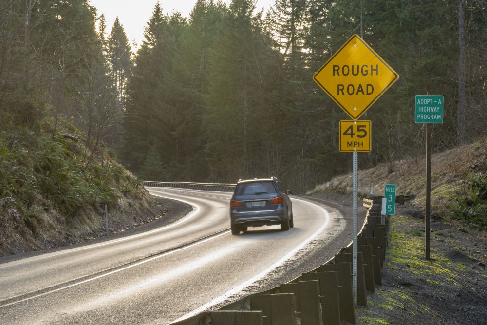
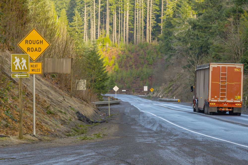
Poor Pavement and Landslides
 This is one of the main issues for OR 6 we heard when we talked with the community. There are many areas of unstable slopes that have led to poor pavement conditions. Areas with unstable ground will require more complex and generally more expensive treatments.
Milepost 28 to 37 is the main area on the corridor with unstable slopes. Milepost 32 to 37 is the area with the most slides. We're working on stabilizing an active slide at milepoint 34.8.
Cell Phone Reception
![]() An overall lack of cell phone reception along the highway creates challenges with reporting and responding to crashes. Drivers are concerned that when a crash happens, they'd need to leave the site to find cell service so they can call for help. When a driver leaves the site, it makes it harder for them to remember or describe the location of the crash. This can make it take longer for emergency services to respond.
An overall lack of cell phone reception along the highway creates challenges with reporting and responding to crashes. Drivers are concerned that when a crash happens, they'd need to leave the site to find cell service so they can call for help. When a driver leaves the site, it makes it harder for them to remember or describe the location of the crash. This can make it take longer for emergency services to respond.
There is also limited phone or data lines along the highway. This is partly because of limited space and electricity access along the highway.
Risky Driver Behavior
 We've heard concerns, and our data supports them, that drivers are going too fast, passing vehicles in unsafe ways and are sometimes driving impaired.
Overall, 49% of crashes that are fatal or cause serious injuries within the area involved at least one of the following risky driving behaviors:
-
Impaired driving.
-
Speeding.
-
Unsafe passing.
-
Careless or reckless driving.
-
Distracted driving.
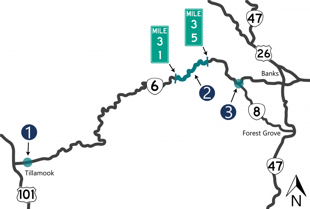
There have been more crashes than we'd expect for this type of intersection. We identified the intersection as a high priority safety issue in 2019 and 2020.
Between 2016 and 2020, there were 15 reported crashes:
-
14 were turning crashes.
-
One was a fixed object crash.
-
Out of the 15 crashes, one had severe injuries.
Other issues at this location:
-
The weigh station that's east of the intersection. Semi trucks are merging back onto the highway, as others are trying to slow down to turn right.
-
Cars in the westbound right turn lane block the view for drivers waiting to make a southbound turn.
This section of OR 6 has many curves, poor pavement conditions and unstable slopes.
-
This section had the highest number of severe crashes in the corridor, often between mileposts 33 and 34.
-
From 2016 to 2020, there were 65 reported crashes between mileposts 31 and 35.
-
Seven of the crashes had fatal or severe injuries.
-
12 were head on or sideswipe crashes.
-
45% were during snow or ice events.
-
18% were on wet pavement.
-
37% were when it was dark, dawn or dusk.
-
-
There are several short passing lanes at sections with curves. Some of the passing lanes don't meet the current standards.
-
This area has more snow and ice related reported crashes.
-
The pavement is in poor condition throughout a lot of this section.
-
Unstable slopes are common in this section.
There have been more crashes than we'd expect for this type of intersection.
Between 2016 and 2020, there were eight reported crashes:
-
None had fatalities or serious injuries.
-
Five crashes involved left turns. Four of these were northbound left turns, one was an eastbound left turn.
-
Four of the eight crashes were on wet pavement.
Based on the existing and projected traffic volume, there's a need for a westbound left turn lane. Constructing a westbound left turn lane would be challenging and costly because of:
-
The bridge over Gales Creek.
-
Limited sight distances, meaning how far ahead a driver can see.
-
Possible conflicts with Dorman Pond wetlands.
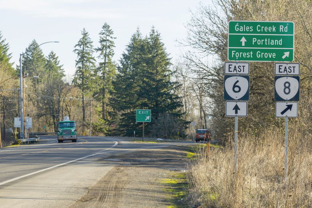
Image Gallery
Stay Connected
 You can always learn more about the project, find out about upcoming events and stay connected by visiting the project webpage.
 If you have not already, sign up to receive future updates about this project.
Contact
Caroline Crisp
Senior Transportation Planner
503-313-6812
caroline.crisp@odot.oregon.gov
Ken Shonkwiler
Project Manager
971-326-0232
kenneth.d.shonkwiler@odot.oregon.gov
Please help us spread the word about this online open house.
Feel free to share this with your friends and neighbors so that we can get their feedback.
Thank you for participating!