
Stations
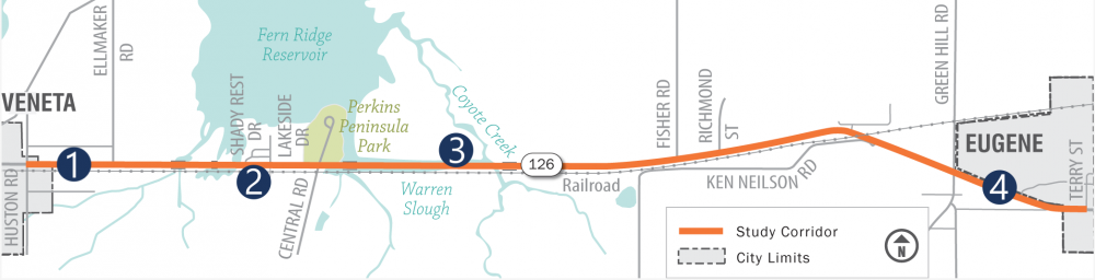
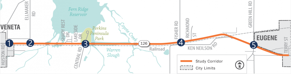
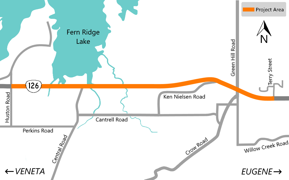 OR 126 between the Willamette Valley and the Oregon Coast is an important route to the valley and I-5 for daily commuters, emergency services, and freight delivering goods and services. This area is also a local resource for outdoor recreation and environmental education.
The seven-mile section we are studying is currently a two-lane road with narrow shoulders and no bicycle lanes or sidewalks for pedestrians. Some solutions have been recommended to improve the safety and mobility of the highway for everyone.
Several people have suggested that the project limits should extend further west on OR 126 to Territorial Highway, rather than stopping at Huston Road. We do not currently have funding to complete a corridor study of OR 126 within the Veneta city limits between Huston and Territorial, but this has been identified in the city's Transportation System Plan. When funding is available, we'll ensure that all recommendations work together to develop a safer road.
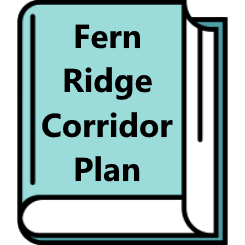
The result of this effort was captured in the Fern Ridge Corridor Plan. The plan recommended solutions and safety improvements that were adopted by the Oregon Transportation Commission in April 2013.
 Since 2013, we have made some improvements in this area, including:
- Repaving and striping.
- Providing bus turn outs.
- Building a turn lane at Ellmaker Road.
- Widening OR 126 from two lanes to four lanes with a center turn lane.
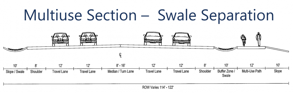
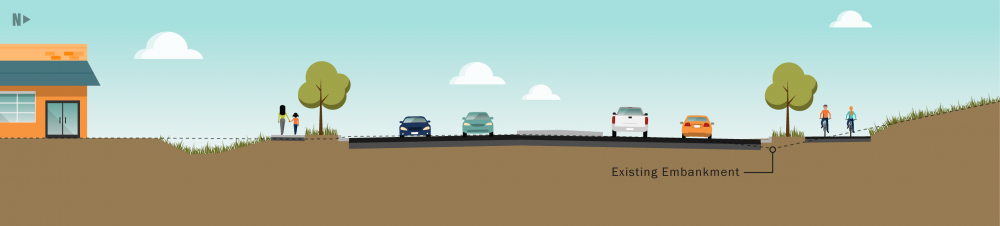
- Building a multiuse path next to the roadway with a physical separation between pedestrians, bicyclists and vehicles.
 There are four key phases for this project:
Phase 1 (2011-2013): Completed
The Fern Ridge Corridor Plan identified needs, showed a range of alternatives and presented recommended solutions that were approved by the Oregon Transportation Commission.
Phase 2 (2020-2022): In Progress
With funding from the Oregon Legislature through Keep Oregon Moving (HB 2017), we are refining the recommended solutions and completing the environmental studies to meet the National Environmental Policy Act (NEPA) requirements which will help the project compete for future federal funds.
Phases 3 and 4 (Future)
When additional funding is identified, we will finalize the design, prepare the construction plans and construct the project.
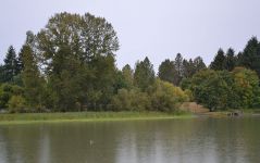
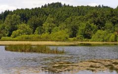
- Wetlands
Our designers are working to minimize impacts to the wetlands that are on both sides of the highway. Before this project is constructed, our team will get all of the required permits and put mitigation in place. - Endangered Species
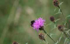
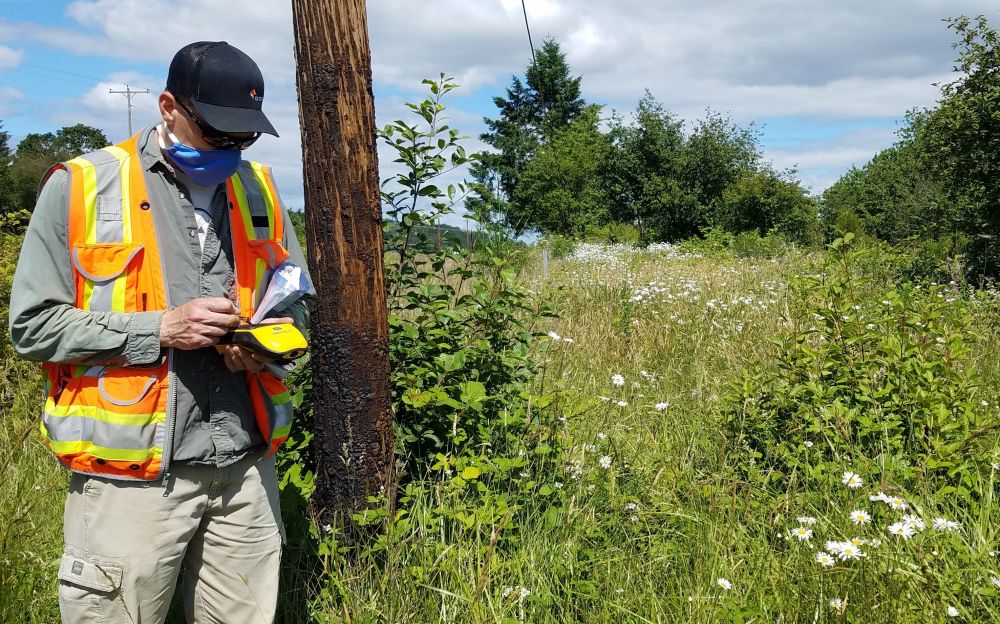
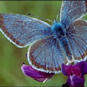
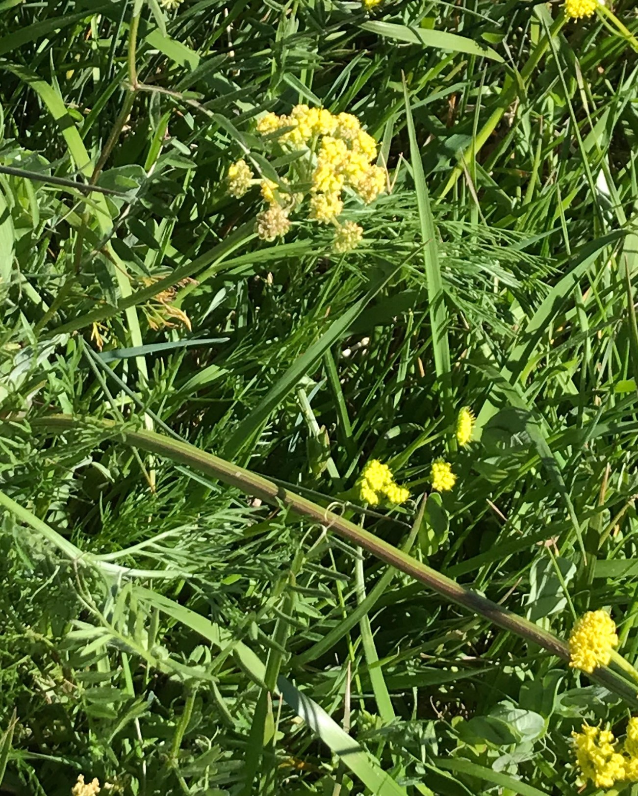
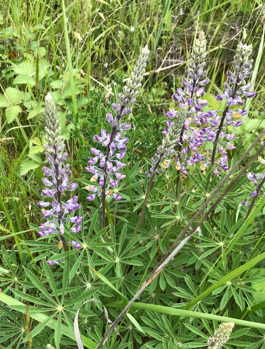
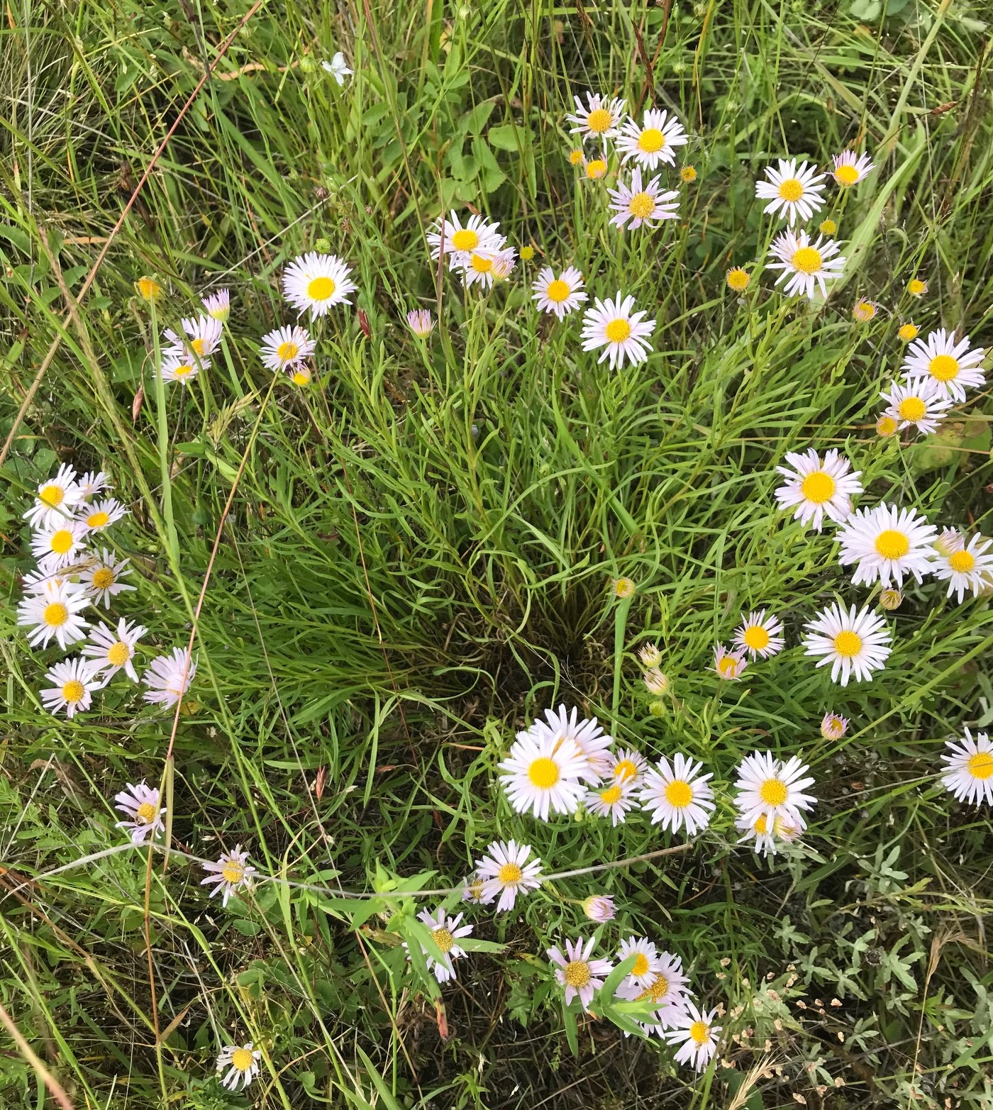
We have located three endangered plants within the project corridor. They are the Willamette Daisy, Kincaid’s Lupine and Bradshaw’s Lomatium. There is also an important habitat for the Fender’s Blue Butterfly, an endangered species. We are working on ways to minimize the impact on these species and identify mitigation options. - Cultural Resources
There are archaeological and historic resources present along the corridor. We are doing fieldwork to identify the extent and condition of archaeological resources. We have completed a review of the corridor for historic resources and five properties have been or will be evaluated to determine if they are eligible for historic designation. - Air Quality
We have completed an air quality evaluation that followed the process outlined by the Federal Highway Administration (FHWA). We found that the project impacts fall below thresholds FHWA has established which would trigger any action or mitigation. - Noise
We have conducted a noise study consistent with FHWA requirements. Noise walls or other noise mitigation measures will not be a component of this project.


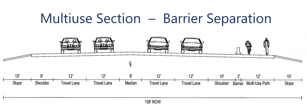
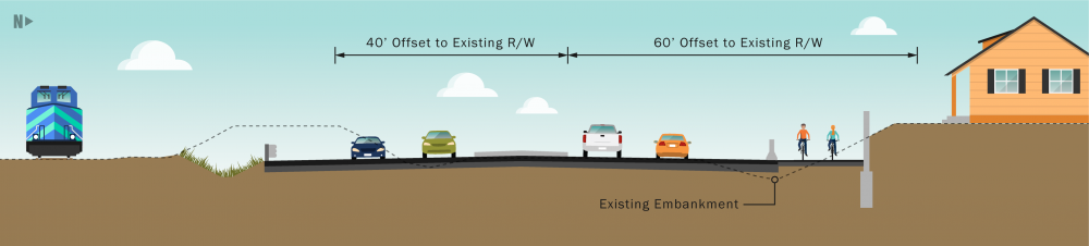
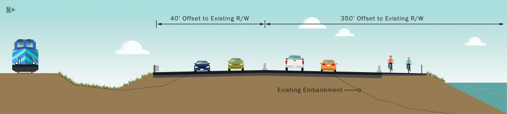
This section includes a median separating the opposing travel lanes, which may be raised or designed to include a left-turn lane. There will also be bus stops.
We will design driveway locations and accesses when funding for construction has been secured.

 Huston Road and OR 126 intersection | Two lane roundabout or traffic signals.
 Ellmaker Road and OR 126 intersection | Two lane roundabout or turn lane improvements.
 Central Road and OR 126 intersection | Two lane roundabout or traffic signals.
 Fisher Road and OR 126 intersection | Two lane roundabout or turn lane improvements.
 Green Hill Road and OR 126 intersection | Two lane roundabout or traffic signals.
Click on the possible intersection options below to learn more:
 Roundabout intersections provide excellent safety benefits and improved air quality compared to other intersection types. They can cost more and require more space to construct but are less expensive to maintain.
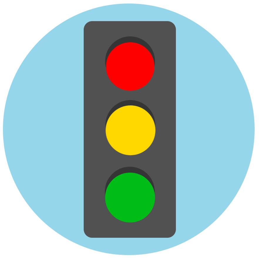 Traffic signals are more common and are usually familiar to drivers. They improve safety over stop signs but tend to result in increased rear-end crashes. They are usually less expensive and require less space to construct but have higher long-term maintenance costs.
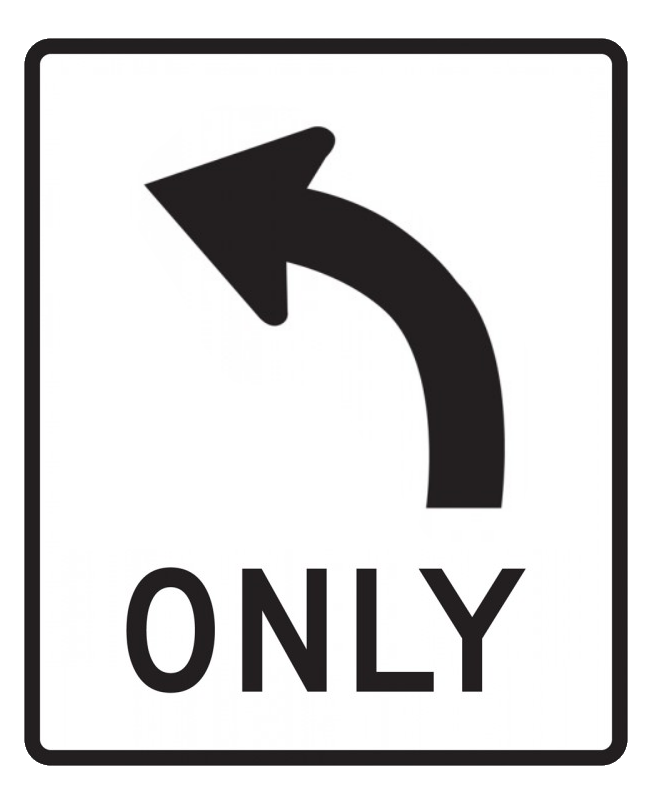 Turn lane improvements would include adding turn lanes on the side roads and may include adding a lane in the median to allow vehicles turning left onto the highway to enter and accelerate before merging into the travel lane. The additional lane in the median allows drivers to make the left-turn in two stages, with the need to look for a gap in traffic in one direction at a time, resulting in improved safety and reduced congestion on the side roads.
We'll use the comments you've shared to finalize the conceptual design work this summer. Environmental work will be completed in the next year. Beginning this summer, we're also working to secure funding for the design and construction of the project.
Stay connected by signing up to receive project alerts.
For more information about the project, please visit the project webpage or contact:
Molly Cary
ODOT Project Manager
molly.a.cary@odot.state.or.us
503-986-6924